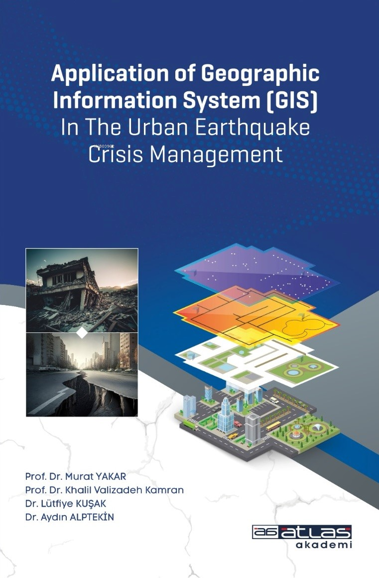
The purpose of this book is to develop practical information related to crisis management and technologies used in this field, by the advanced techniques of geographic information system (GIS). Considering that crisis management has been actively and seriously entered the scientific field in the last two or three decades, it is necessary to investigate the development of this field in Turkey. Therefore, in this book, we have been trying to explain the basic concepts of crisis management, using the technique of GIS in analyzing different hazards, especially the risks of earthquake. We have been also trying to provide more information about the most representative methods such as data mining in GIS, and also the application of mobile GIS in the crisis management. This book include chapters about fundamental concepts, spatial analysis, Spatial Decision Support Systems, Application of the GIS System Crisis management, GIS in earthquake hazard zoning, Mobile GIS, Data mining and artificial intelligence in earthquake crisis management. And at the end of the book, a case study about the city of Mersin is presented.
Devamı
| Format |
:Kitap |
| Barkod |
:9786258101652 |
| Yayın Tarihi |
:2024-05-09 |
| Yayın Dili |
:Türkçe |
| Orjinal Adı |
:Application of Geographic Information System (GIS) In The Urban Earthquake Crisis Management |
| Baskı Sayısı |
:1.Baskı |
| Sayfa Sayısı |
:1 |
| Kapak |
:Karton |
| Kağıt |
:1.Hamur |
| Boyut |
:190 X 270 |